

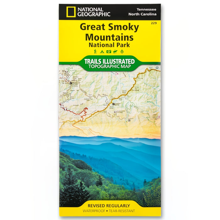
Great Smoky Mountains National Park Trails Illustrated Topographical Map
SKU 32984
Original price
$14.95
-
Original price
$14.95
Original price
$14.95
$14.95
$14.95
-
$14.95
Current price
$14.95
Availability:
in stock, ready to be shipped
Never get lost again! Now, with this waterproof and tear-resistant illustrated topographical map, you'll always know where you are and where you're going when you're experiencing The Great Smoky Mountains National Park.
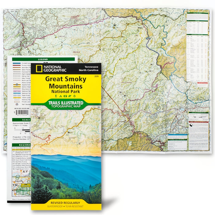
This map marks the locations of various trails and sights to see, as well as nearby lakes, rivers, and National Forests. Inserts on this map detail locations of stream crossings, camp sites, and shelters, as well as crucial information about the park, the nearby Blue Ridge Parkway, and the Benton MacKaye Trail—a precursor to the Appalachian Trail.
Pick this up before your trip to The Great Smoky Mountains National Park to ensure you get the most out of your adventure safely!
Product Details
- 25 1/2'' x 37 3/4''
- Tear resistant, Waterproof